

The Carpet Guy
Satellite Remote Sensing Applications in the State of Kuwait – 1997 KISR Scientific Publication
Satellite Remote Sensing Applications in the State of Kuwait – 1997 KISR Scientific Publication
Couldn't load pickup availability
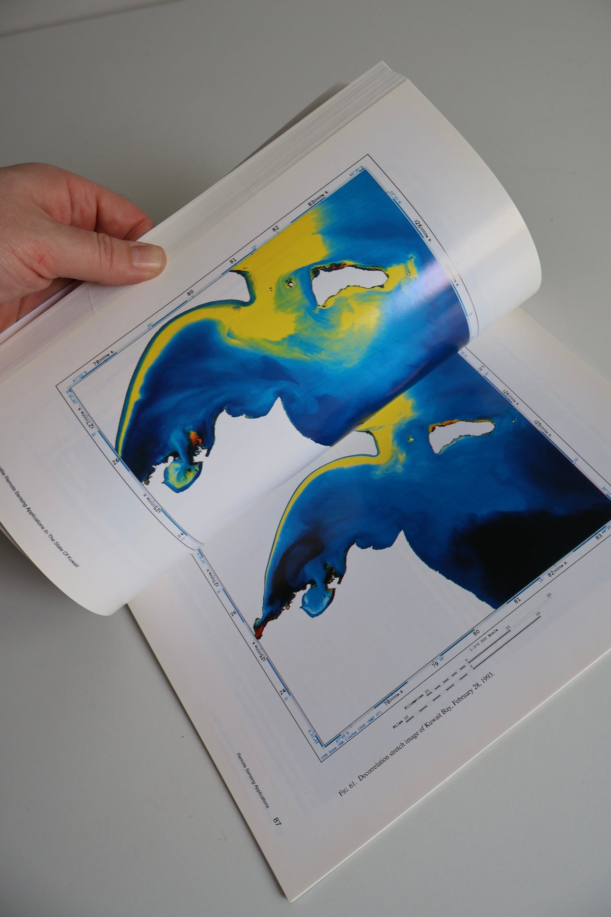
An original 1997 scientific publication produced by the Kuwait Institute for Scientific Research (KISR), offering a fascinating visual record of Kuwait's landscape, coastline, and urban development through satellite imagery. Written by Andy Yaw Kwarteng and Dhari Al-Ajmi, Satellite Remote Sensing Applications in the State of Kuwait explores the early applications of satellite technology in studying Kuwait's geography, environment, agriculture, and natural resources. Richly illustrated with colorful satellite photographs, aerial imagery, scientific maps, and comparative environmental studies, the book captures the country from an extraordinary perspective during the 1980s and 1990s.
Particularly compelling are its satellite studies documenting Kuwait before and after the 1990–1991 Gulf War, including environmental changes in the Burgan oil fields, as well as historical imagery of Kuwait City, Kuwait Bay, and the country's desert landscapes. Published nearly three decades ago, this specialized scientific volume represents an interesting piece of Kuwait's environmental and technological history. An excellent addition to collections of Kuwaiti history, cartography, architecture, and scientific publications. Presented in its original illustrated softcover, in very good vintage condition with minor signs of age and handling.
SHIPPING & RETURNS
Free delivery throughout Kuwait. Ready to ship within 1–2 business days. Returns accepted within 14 days in original condition.