

The Carpet Guy
Large Vintage 1988 Arab World Route Map
Large Vintage 1988 Arab World Route Map
Couldn't load pickup availability
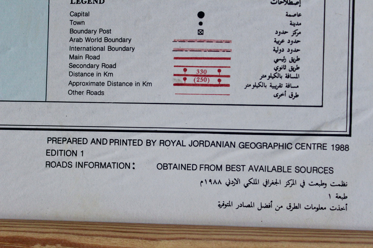
A large bilingual Arab World Route Map, prepared and printed by the Royal Jordanian Geographic Centre for the Arab Union of Land Transport in 1988. Marked Edition 1, the map documents the major and secondary road networks connecting North Africa, the Levant, the Gulf, and the Arabian Peninsula, with place names shown in both Arabic and English. Kuwait and its road links are clearly represented, while period labels including the U.S.S.R. and Zaire give the map added historical interest. The Royal Jordanian Geographic Centre is the official Jordanian agency responsible for producing national and regional cartographic materials.
Printed on paper and presented in a simple natural wood frame. In good vintage condition overall, with visible paper waviness, creasing, small marks, and localized wear consistent with age and previous display. Please look closely at the photos as there is a small hole that has been repaired. The frame also shows light surface wear. Estimated age: 1988, approximately 38 years old. Measures approximately 104cm wide x 74cm high, including the frame.
SHIPPING & RETURNS
Free delivery in Kuwait.
Ready to ship in 1-2 business days
Returns accepted within 14 days in original, undamaged condition.